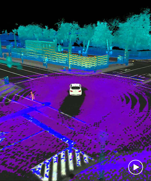
a new autonomous navigation system called maplite, developed by researchers at MIT’s computer science and artificial intelligence laboratory (CSAIL), could see driverless cars take on rural roads without any prior mapping. using GPS data and sensors, maplite lets AV’s navigate roads which might not have accurate 3D mapping or any mapping at all.


the sensors give the driverless car an idea of its surroundings determining the length and width of roads assuming that the road is flatter than the surrounding area. the system works by having two navigation goals, the final destination of the vehicle user and a closer goal which within view of the car’s sensors, e.g. a few feet or metres ahead. with each new goal the vehicle eventually reaches its final destination.


video by MITCSAIL


I imagine that the self-driving cars of the future will always make some use of 3D maps in urban areas,‘ says CSAIL graduate student Teddy Ort.but when called upon to take a trip off the beaten path, these vehicles will need to be as good as humans at driving on unfamiliar roads they have never seen before. we hope our work is a step in that direction.’ 


the CSAIL team equipped a toyota prius with maplite which successfully navigated rural roads. CSAIL plan to present their project at the international conference on robotics and automation (ICRA) later this month.