budapest based illustrator, lehel kovacs has created a series of edgy illustrations, recreated from google map’s street view feature. based on jules verne’s novel ‘around the world in eighty days’, kovacs followed the route of protagonist phileas fogg, citing the exact locations in which the character travelled.
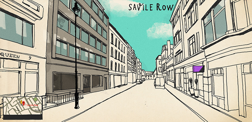
savile row 7, london – home of phileas fogg
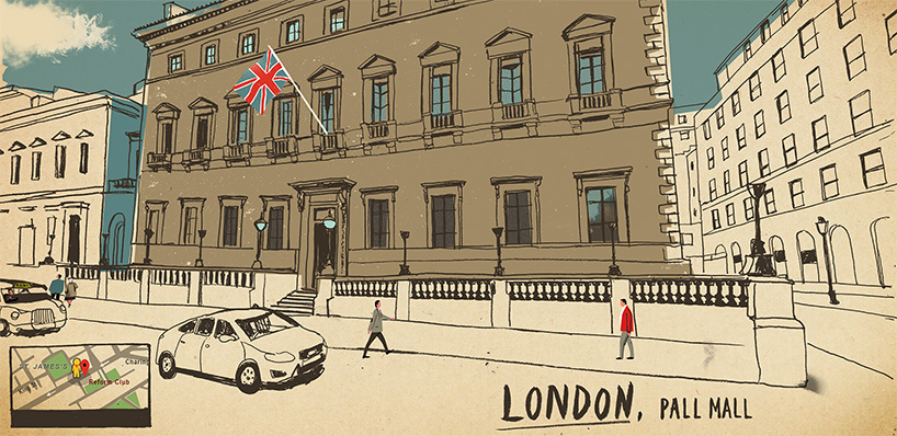
lehel kovacs adds a new layer to the well known novel by revealing the location in a contemporary nature. a minimal palette has been applied to each drawing, using busts of color to highlight compositional arrangements. in the left hand bottom corner, one can see the google street view feature, allowing the viewer to discover the location. the journey – which you can follow here – starts at the reform club in london, through to savile row 7 – home of phileas fogg – then to france, italy, japan and finally broome street in new york.
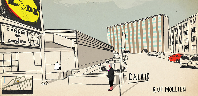
calais, france
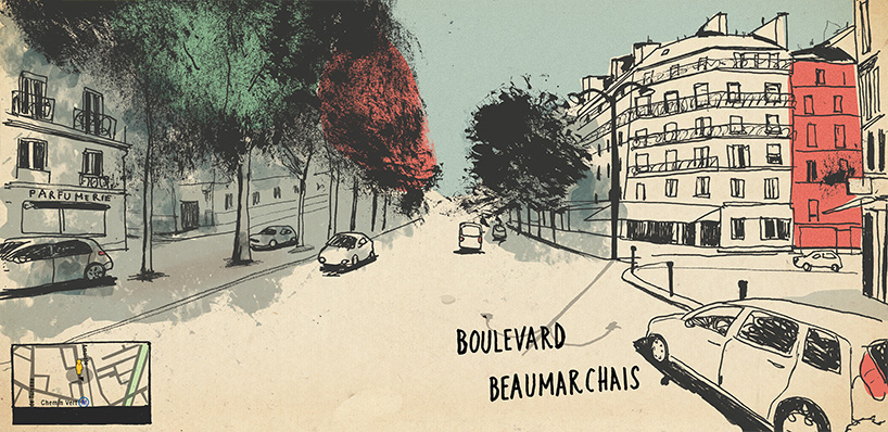
paris, france
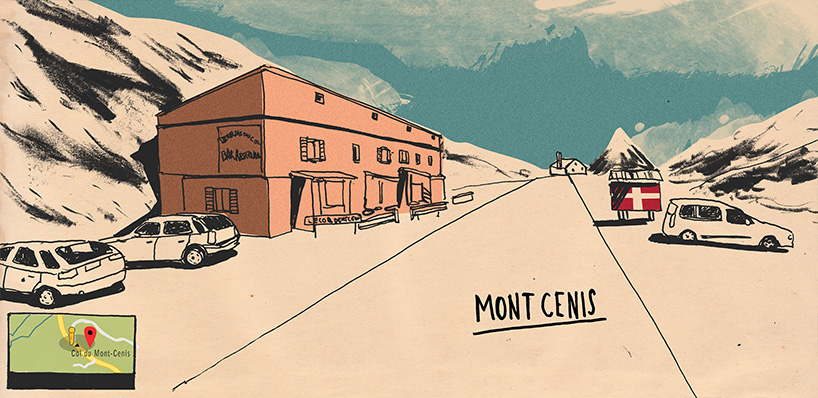
mont cenis, france

brindisi, italy
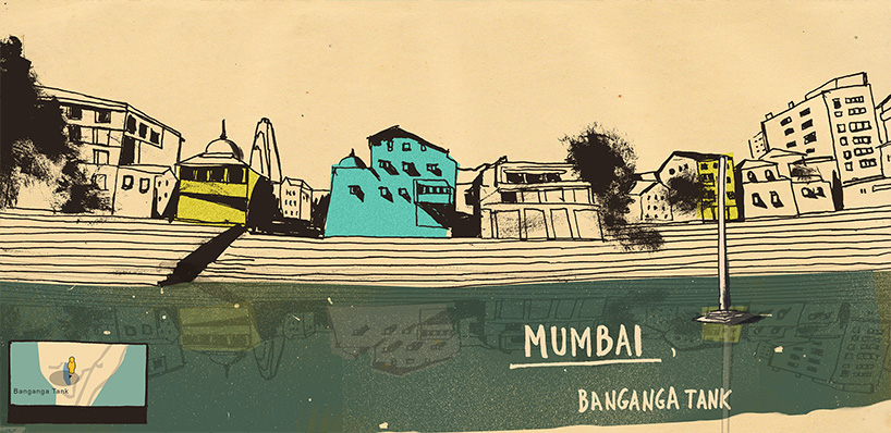
mumbai, india

yokohama, japan
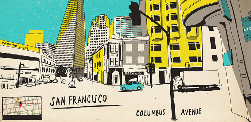
san francisco, US

salt lake city, US

new york, US
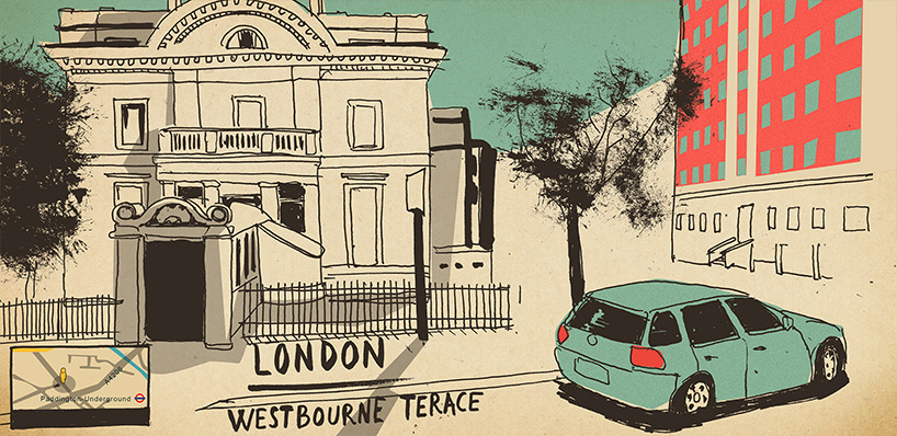
london, england
designboom has received this project from our ‘DIY submissions‘ feature, where we welcome our readers to submit their own work for publication. see more project submissions from our readers here.
edited by: hollie smith | designboom