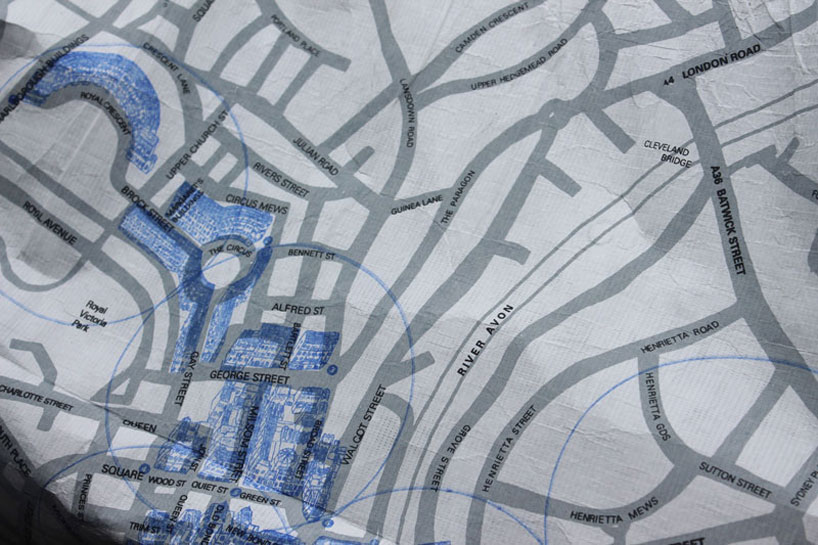
thermo color map displays attractions according to weather conditions
all images courtesy of camilla hempleman


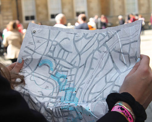
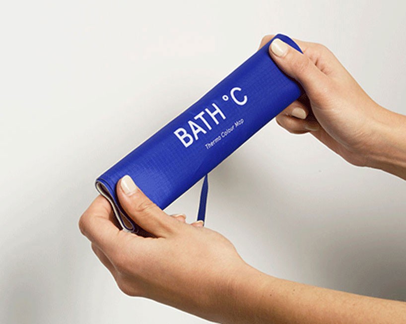
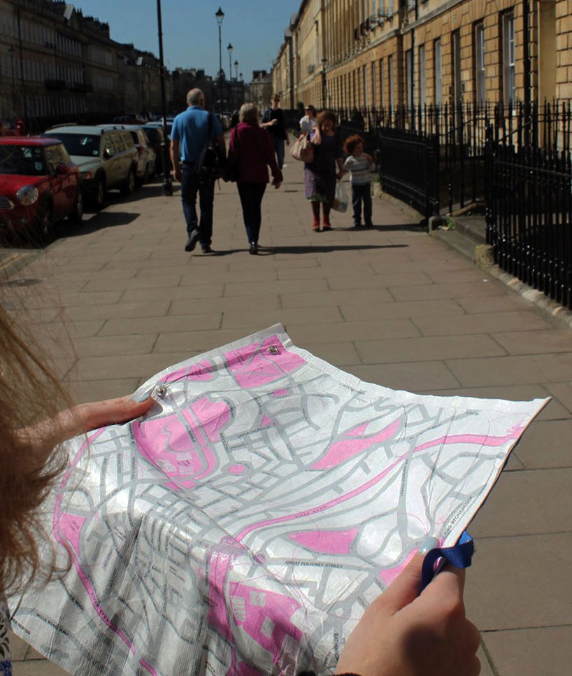
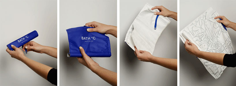
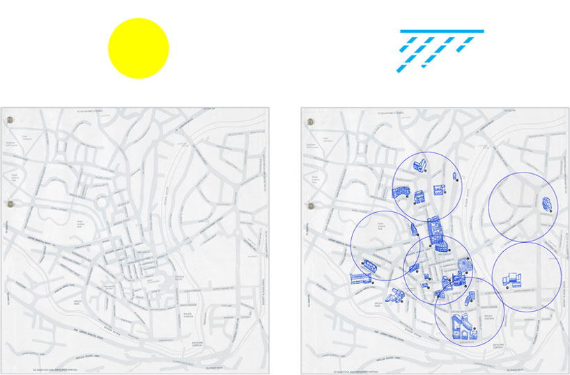
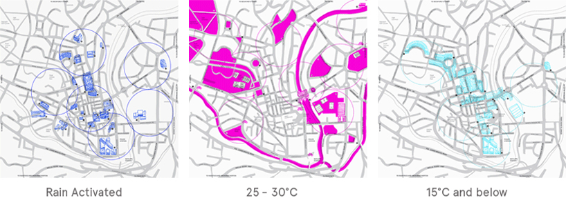
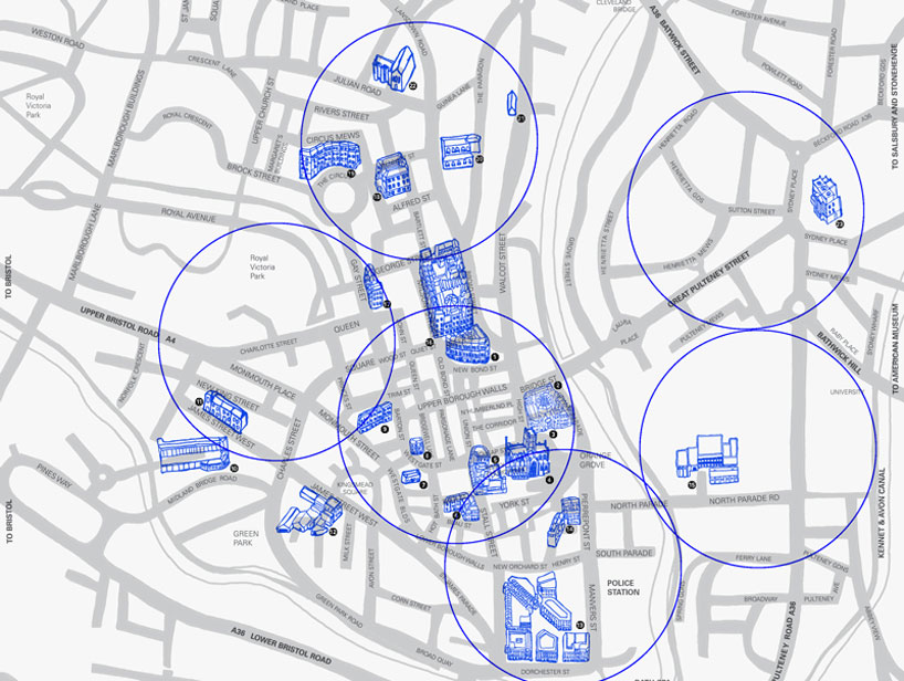
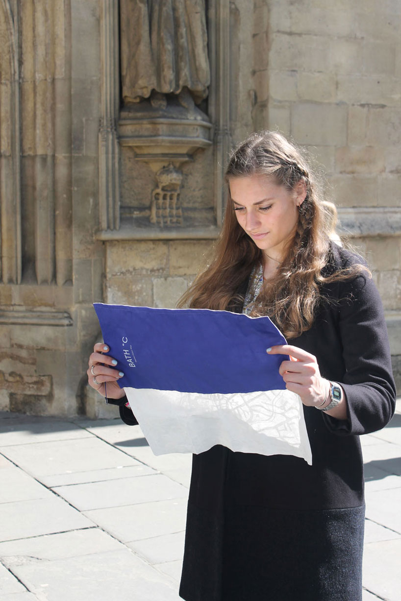
‘bath °C thermo color map’ by camilla hempleman is a hand held activated map, based on her home city of bath, england. using thermochromic inks and tyvek fabric the map is activated at different temperatures, revealing layers of hand illustrated buildings and attractions, showing the best places to visit depending on the weather. designed as a roll map, the fabric is water, and crumple proof allowing it to be easily stored in your bag with minimal packaging to combat any excess waste. the map is color coded to specific external environmental temperatures, which allows tourists, visitors and residents a like to have a new experience of bath.

thermo-color-map-designboom-02
the map is meant to rolled up when not in use

thermo-color-map-designboom-01
during hot temperatures the map displays rivers and lakes

thermo color map displays attractions according to weather conditions

the roll map is designed for minimal package waste, and can be rolled up and put away very easily.

thermo color map displays attractions according to weather conditions
the best places to visit inside when it rains, eg museums

 thermo color map displays attractions according to weather conditions
thermochromic inks, are revealed at different temperatures


thermo color map displays attractions according to weather conditions
a close up of the hand illustrated buildings


thermo color map displays attractions according to weather conditions
the roll map can be used in all weather conditions  

thermo color map displays attractions according to weather conditions
map used within location


designboom has received this project from our ‘DIY submissions‘ feature, where we welcome our readers to submit their own work for publication. see more project submissions from our readers here.


edited by: piotr boruslawski | designboom